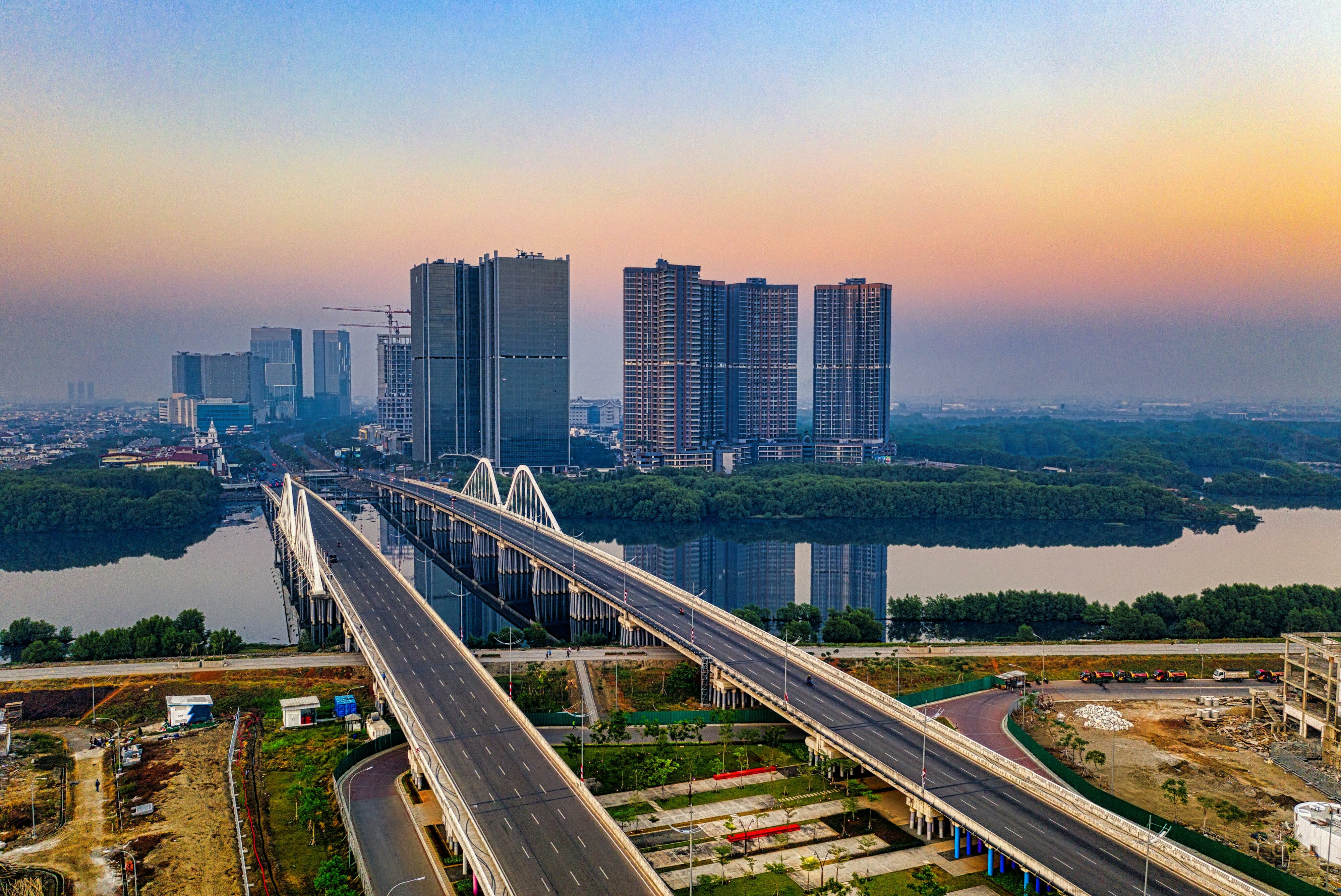
Bringing the World Together by Building Bridges


I am at the GSDI/INSPIRE conference this week after spending a few enjoyable days with our users and partners in Whistler at our FME User Conference.
I found it interesting that the theme for our conference of “Bringing the World Together” and the theme of the GSDI/INSPIRE conference of “Building Bridges” are both driving at the same message. The wealth of information that is available as we bring more and more data and communities together is mind boggling. And the bringing together of this data is critical to making better decisions.
During the GSDI/INSPIRE keynote it was pointed it that the geospatial community can now be viewed as two separate communities.
The first community is the traditional GIS community which is the traditional industry of geospatial professionals. This industry is occupied by people that in general have more training in geospatial technology and I have heard this industry referred to as being full of “geospatial professionals”. In the GSDI/INSPIRE conference, this community was referred to during the keynote as “Top Down Geospatial Technology”
The second community has been called the “neogeography” industry and can be thought of as “geospatial for the masses”. Tools that fit into this are things like Google Earth, Google Maps and Bing Maps. Indeed the size of the community using these tools and this data is worldwide. The impact that this community has had on the everyday user is readily apparent as now everyone has access to amazing mapping data. It seems we all now have a GPS enabled phone using Google Maps or some other tool to help us find our way around. As the younger of the two communities there is much innovation in the “neogeography” industry, as a very fresh approach is being taken. This community can be thought of as grassroots or “Bottom Up Geospatial Technology”.
During the keynote of the GSDI/INSPIRE conference both of these communities were discussed with the point being that the big win in the future is to bring these two communities together more and more. Doing this will take the power that is currently enjoyed by the “geospatial professionals” and open it up to the masses enabling all of humanity to better understand the world and the impact that we have upon it and the environment.
Whether you like to think of it as “Bringing the World Together” or as “Building Bridges” one thing is clear. Once users get a taste of having all the data they need at their fingertips there is no going back.
The many people working feverishly on INSPIRE and GSDIs at Safe and other companies are helping to make this dream become a reality. More than ever there is the realization that “It’s All About Data”.


