Using CityGML to Work with Large-Scale 3D Data
When working with large-scale 3D datasets for disaster management, facility management, navigation, environmental simulations, and city planning, data can be huge and very detailed. And large, complex datasets can be hard to process and share. CityGML exists to mitigate this problem.
It’s an Open Geospatial Consortium (OGC) international specification for 3D city models, enabling the easy exchange of 3D data. CityGML can be shared at various levels of detail, from simple footprints to detailed 3D models with windows, doors, and even furniture.
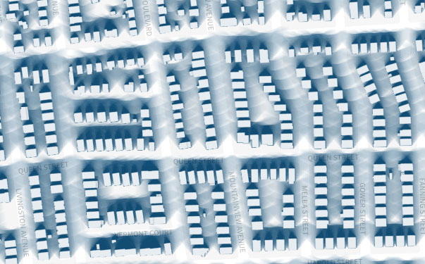
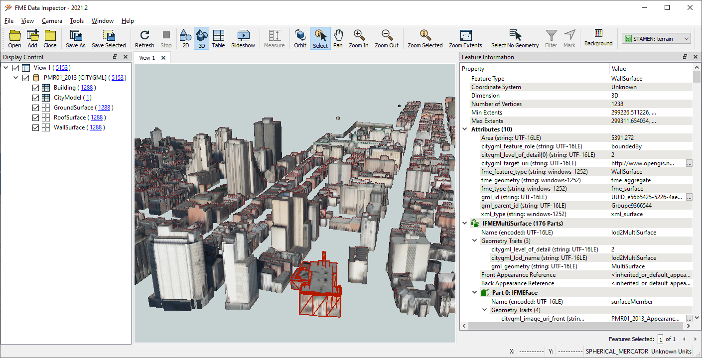 A CityGML dataset of Montreal. Taken from our CityGML Webinar
Why is CityGML useful?
There are a lot of 3D formats, and where CityGML excels is in the details. Levels of detail (LODs) are part of it, which are important for rendering data in 3D web apps like I3S and Cesium, but the advantages reach far beyond that.
CityGML is more than just 3D—it’s a rich data model that preserves all object properties and semantics. So instead of rendering the mesh shell of a building, it includes the windows, doors, and key information. Sharing the meaning of an object helps the user understand it, and makes the data more useful.
For scenarios like urban planning, utilities, indoor mapping, facilities management, disaster response, and more, it’s helpful to have semantically rich data. Users need to have a full understanding of the information being shared, not just a picture or object.
Finally, because CityGML retains all details, it’s a great format for exchanging data between unrelated systems—Esri, Autodesk, spatial databases, BIM software, and more.
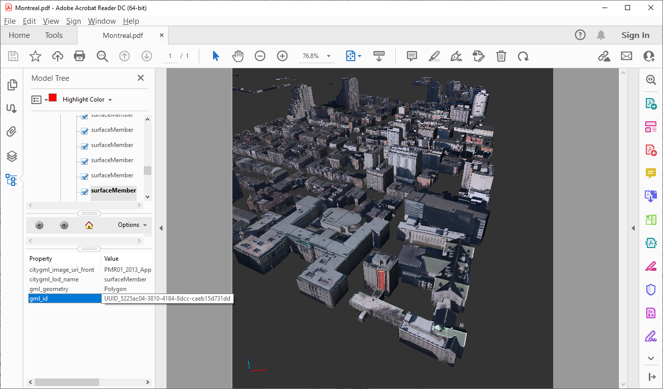 A CityGML dataset written to a 3D PDF for easy sharing. Taken from our CityGML Webinar
How do you process, create, and share CityGML data?
Our technical expert, Dean Hintz, participated in an in-depth benchmark project to investigate technical solutions related to CityGML and GeoBIM data. The goal was to research and understand the state of software support for IFC and CityGML, two open GeoBIM standards, and the conversions between them. They also looked at the challenges with supporting the standards, and how to improve them to make it easier for vendors to implement and support them. This would inform further development of the standards and related software. The project involved various tools and software, so make sure you check out that list.
This blog focuses on the ETL component of working with CityGML: FME.
The Power of ETL
Using FME, you can convert data to and from CityGML, as well as perform common operations like converting 2D to 3D, changing the level of detail, working with nested object-oriented CityGML, and more. We commonly see users converting CityGML to KML, Shapefile, Cesium, and IFC, which is CityGML’s BIM counterpart.
To dive into the technical details and see live demos, watch our webinar: How to Easily Read and Write CityGML Data (Without Coding). Also check out these resources to learn more:
- Documentation and Tutorial: CityGML Reader/Writer in FME
- Tutorial: Working with 3D Data in FME – includes multiple CityGML examples
- Tutorial: Working with BIM in FME – includes examples converting IFC to CityGML
CityGML LOD 3 output from IFC to CityGML conversion tutorial
Inspiring Examples of 3D City Model Projects
An ETL tool like FME adds value to 3D geospatial data. Here are 3 inspiring stories of organizations that used CityGML and FME to create amazing results.
Making a Large-Scale 3D Building Massing Model of NYC
New York City’s Department of Information Technology and Telecommunications (DoITT) and AppGeo worked together to create a 3D building massing model of NYC. New York has 1 million buildings, so CityGML was the perfect exchange format for working with such a large volume of highly detailed objects.
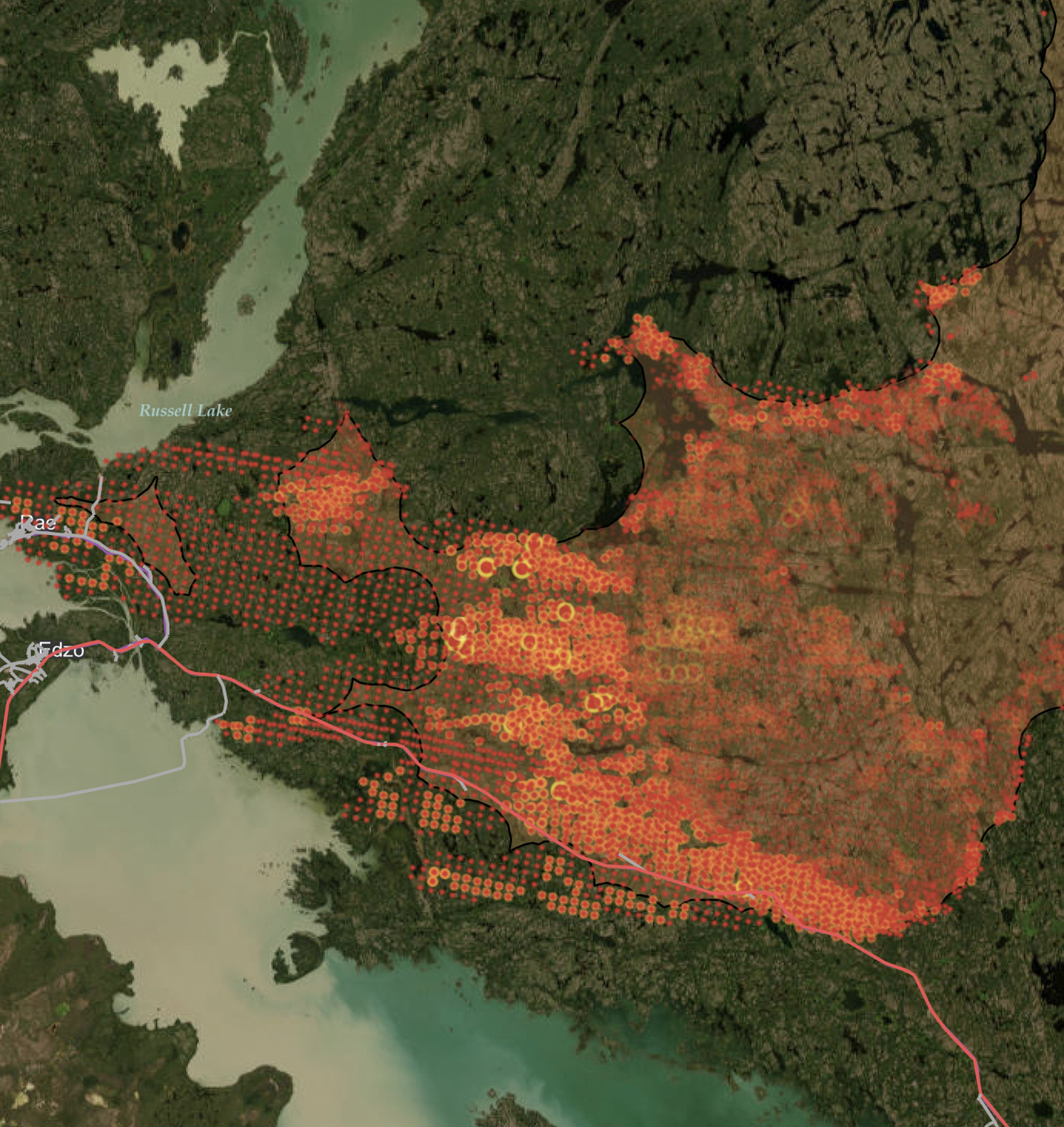
They used FME to analyze and automate the data processing, including performing extensive quality control. This project supports innovative new ways to model and analyze the city landscape. (Check out this impressive map of shadows throughout the city!)
 Mapping shadows in NYC. Building models provided by NYC DoITT. Source: New York Times
Creating Virtual City Models for Planning and More
virtualcitySYSTEMS specializes in creating virtual city models. They’ve worked on a lot of impressive projects using CityGML, and won the OGC CityGML Challenge in 2019. They have used FME to power data integration workflows for planning, analysis, simulation, and more.
In one project, they created CityGML from input data like AutoCAD 3ds, Sketchup, and IFC, and created a system for distributing the data in whichever format the end user prefers, e.g. Geodatabase or AutoCAD.
https://youtu.be/leSF5yiC3Mg
virtualcitySYSTEMS: Winner of the 2019 OGC CityGML Challenge
Creating a New National Standard for Urban Planning
In the Netherlands, Geonovum developed a national standard for 3D data that’s based on CityGML. The project included open-source tools for creating and validating the data, so they used FME. FME distributes the tools and processes the data, like automatically generating compliant 3D datasets from 2D and LiDAR inputs. The result of this initiative is enhanced urban planning, including better efficiency of use and quality of living. The 3D analysis provides a more accurate picture of elements like shadow casting, noise, rooftop gardening potential, and more.
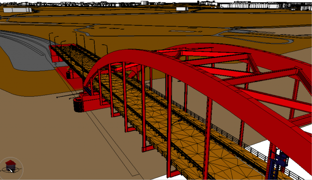
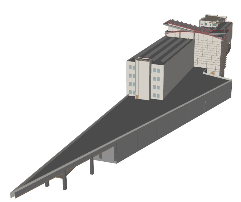
LOD 3 Bridge, compliant with Genovum’s 3D standard
I hope these projects inspire you to see what’s possible using CityGML and FME ETL workflows! To learn more and see live demos, check out our webinar, How to Easily Read and Write CityGML Data (Without Coding).