This work was done in collaboration with Safe Software partner Spatialworld.

The Peak of Data and AI 2025
Join us May 6-8 in Seattle, WA to learn from top data experts, see FME in action and get inspired on your data journey.
Register Now


This work was done in collaboration with Safe Software partner Spatialworld.

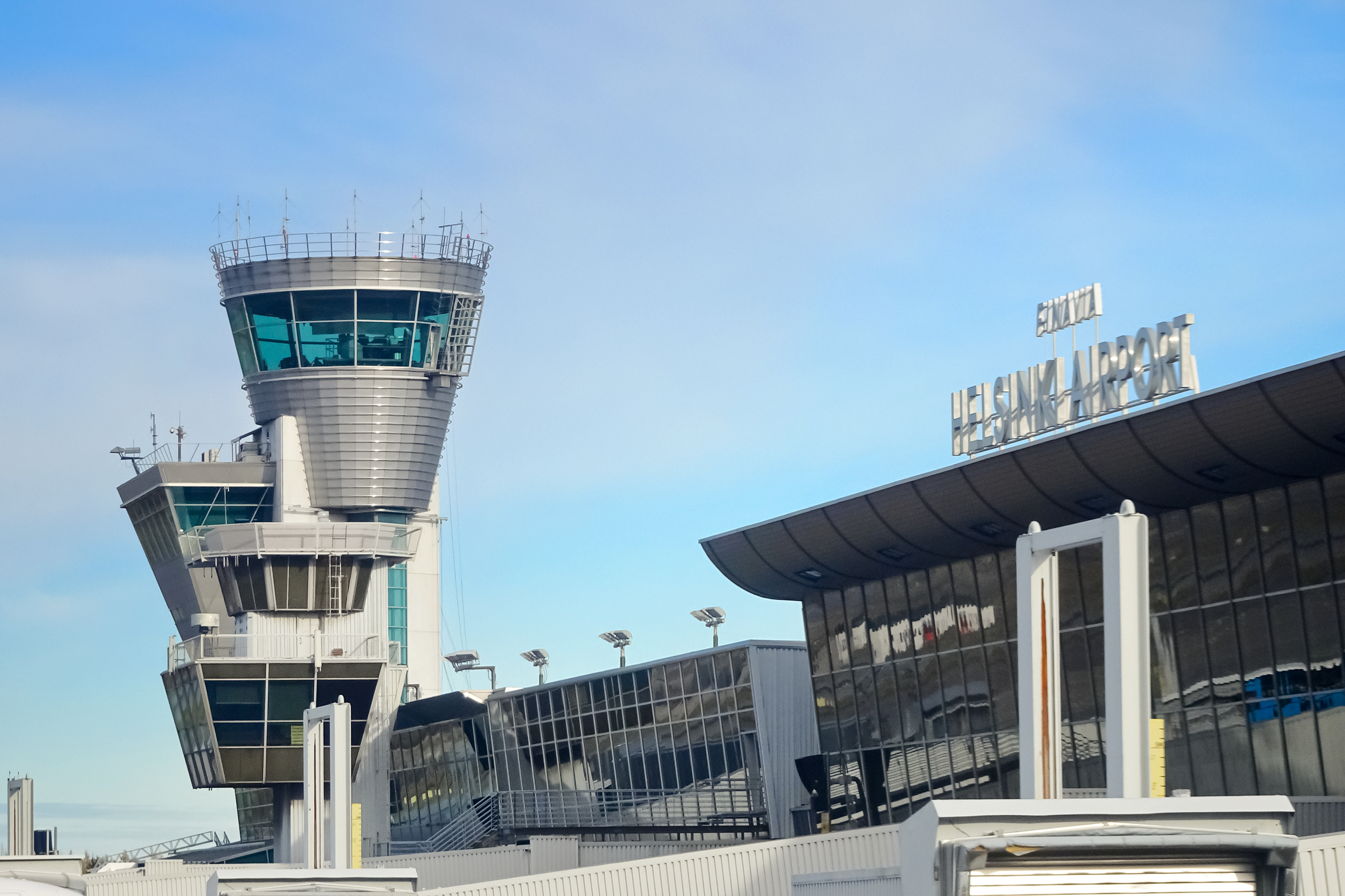
Finavia worked with Spatialworld, a Safe Software Partner, to improve the safety and operations of Finland’s airports through obstacle avoidance, airspace planning, and automating processes that were previously manual and time-consuming.
Using FME, they automatically generate PDF maps for security, ports, police, and fire, by processing topography data from DGN and PostGIS. They also build topographic, cadastral, and basemap databases by retrieving data from National Land Survey and writing to PostGIS. Flight obstacle maps are generated by integrating Finland’s LAS (point cloud) datasets, analyzing the data, and identifying high elevations. To manage water monitoring data from sensors, they automate the process of checking the XML file provided by consultants, performing QA, triggering an email, then transforming and converting the data to PostGIS. Their workflows for flight obstacles involve reading from Excel and HTML, generating an HTML report, and writing to Oracle with a map and feature information.
With these workflows that extract data from various sources and convert them for sharing and analysis, Finavia is able to reduce tedious manual processes, enhance data quality, and improve the operations of all 22 Finnish airports.