Creating a Single Source of Truth from Disparate Geometric Representations of Identical Objects

Presentation Details
Rijkswaterstaat is the Dutch governmental agency for managing and maintaining Dutch highways and waterways. At this moment, they use two asset management systems and a topographic system to manage their assets and plan renovations and extensions of their network. The same real-world object is, therefore, often present in multiple systems for different use.
The separate systems are managed by different departments, updated by different (sub)contractors and have different technical specifications. This has led to discrepancies between the systems and an increased workload to keep the systems synchronized. Because of this, Rijkswaterstaat has started a project which aims to bring together the three separate systems into one Geographic Information System. This, of course, comes with a lot of challenges like changing processes, tooling and dealing with different semantics.
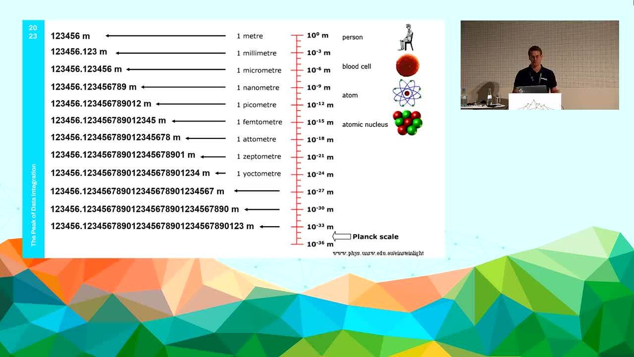
This presentation, however, focuses on the geometric challenges that arise from creating such a single source of truth. Combining different geometries representing the same real-world object into one single uniform geometry is not a straightforward process. Problems can arise from a difference in precision, accuracy and tolerance between the datasets. Normally this is not a big issue, as often, geometries that are being combined represent different real word objects which have their differences anyway. When supposedly identical objects are combined, however, small spatial differences between them suddenly become clear. Differences that are not relevant to the resulting dataset need to be removed before or after processing.
This presentation shows how FME can be used to minimize those manual pre- and post-processing steps when combining such data. Instead, geometric differences that are present in the data are dealt with during processing as much as possible. In this way, tedious manual labour has been avoided while data quality has been preserved. The method that was used at our customer Rijkswaterstaat will be shown with a focus on the development process.
