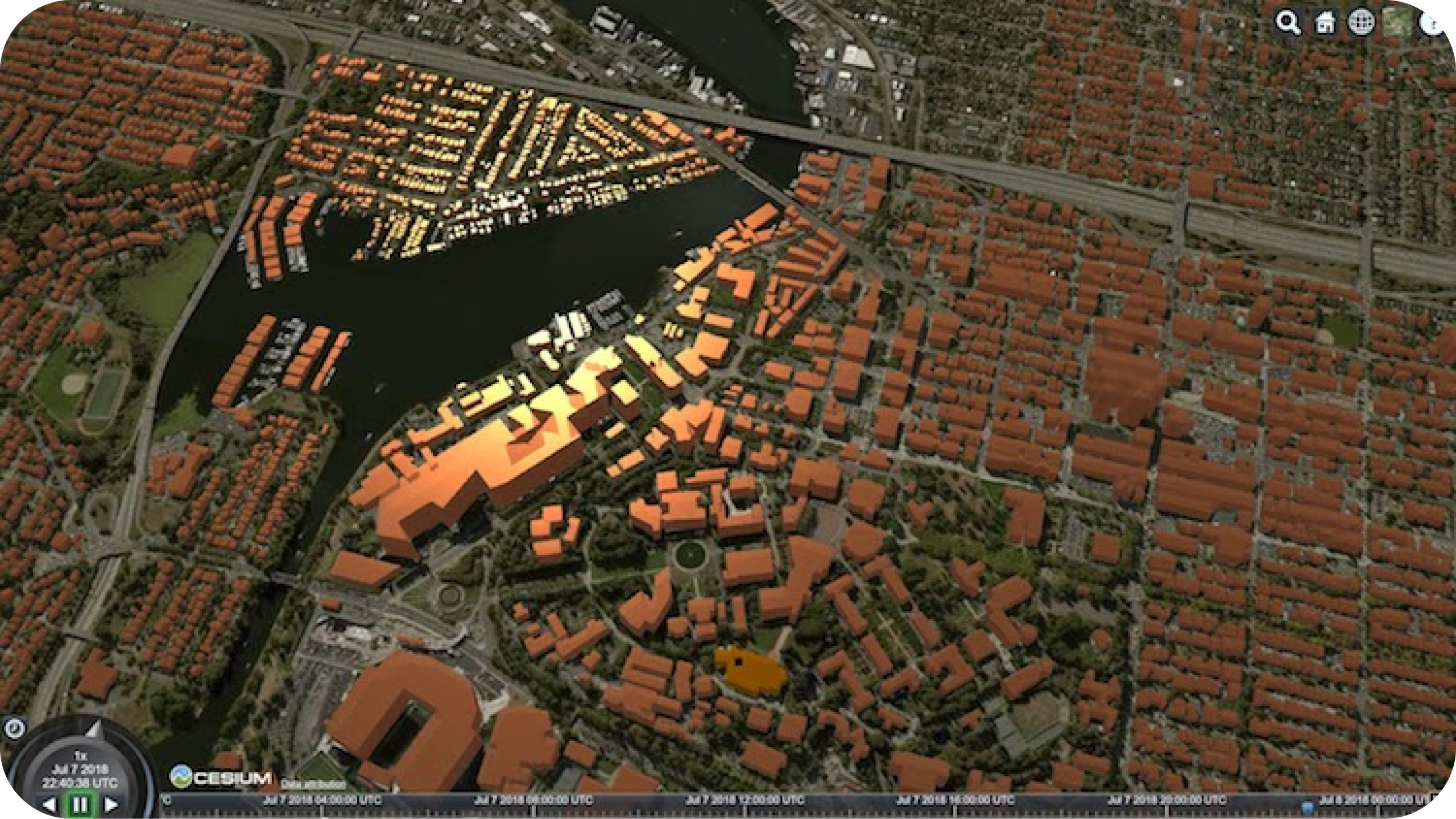
Visualizations in Cesium

How it works
- Left-click to navigate
- Scroll to zoom
- Wheel-click to rotate
Overview
Telling a story isn’t always easy. But, with some 3D models and maps, a story can not just be told, it can be seen.
Using historic map scans, CAD data, and Cesium, the historic site of Amache can be displayed online to depict what was once a WWII internment camp. Now, this display can be used to help teach others of the history of Amache and be used among researchers to better understand the past.
Non-profit, teacher or student?
We have Free Licenses available to help jump start careers or support your learning, research and charity.
Questions about the platform?
We love questions, discussions, and providing demos to help you get started on or to continue your data integration journey.
Join the FME Community
Our growing community has a wealth of FME knowledge with over 20,000 active members worldwide, where you’ll find everything from support to training.
